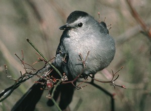
New Jersey Catbird |
|
|
|
|


Sommer Park Preserve, Hopewell, New Jersey Location and DirectionsDirectionsFrom Route 518 in Hopewell, go north on Greenwood Ave., which becomes Hopewell-Wertsville Road. Go approx. 2 miles and look for Featherbed Lane, the first full crossroad. Turn right. Park along the roadside and look for a trail going north into the woods. Maps Click on map to view larger sized Region Map — the Southern Sourlands. Map © by Bill Boyle, from the second edition of the Guide to Bird Finding in New Jersey (Rutgers University Press, 2002). Used by permission. 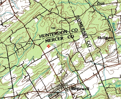 USGS Topographic Map — Hopewell, NJ Quadrangle [1:25000] 1970 - 20 foot contours. 40.4144N, 74.4418W 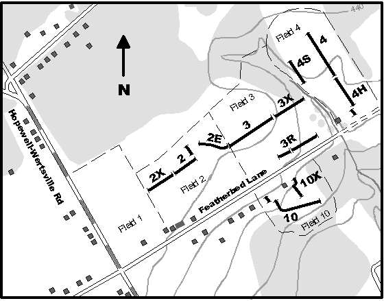 Site map. — © by Paul Wedeking, used by permission. |
|
© 2001-2021 by the Featherbed Lane Banding Station.
Last updated 11/27/2021.
|